Mount Diablo - 5/18/07
Mount Diablo is a mountain in Contra Costa County in the San Francisco Bay Area, located south of the town of Clayton and northeast of Danville. It is an isolated 3,849-foot (1,173 m) up thrust peak that is visible from most of the San Francisco Bay Area and much of northern California. The Coast Range consists only of low hills, none high enough to block the view from the upper slopes of the mountain. As a result the view is spectacular.
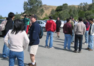
Hoa and his colleagues from Pay pal went for a hike up Mount Diablo. The hike will take about 1 hour to get to the summit and another hour for the descent.
|
In the parking lot folks are getting ready to take off for the hike |
 |
 |
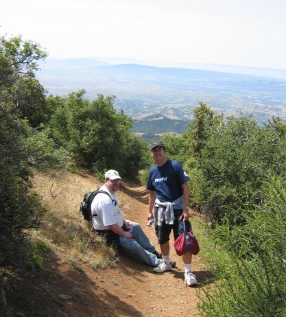
The hike was an uphill battle. A few folks has to take a little rest before moving upward. |

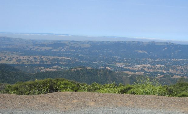
The view is so peaceful and serene!
|
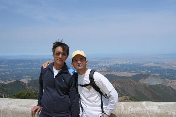
They made it to the top! |
Mike and Hoa happy to make it to the top. |
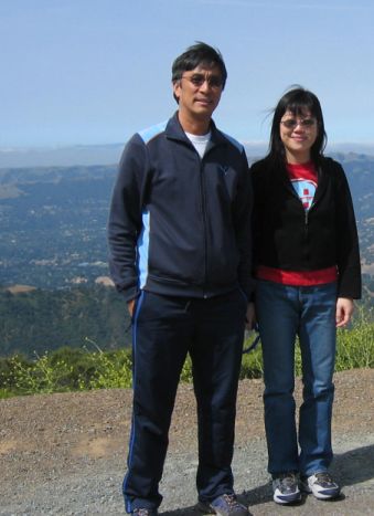
Hoa and Girish
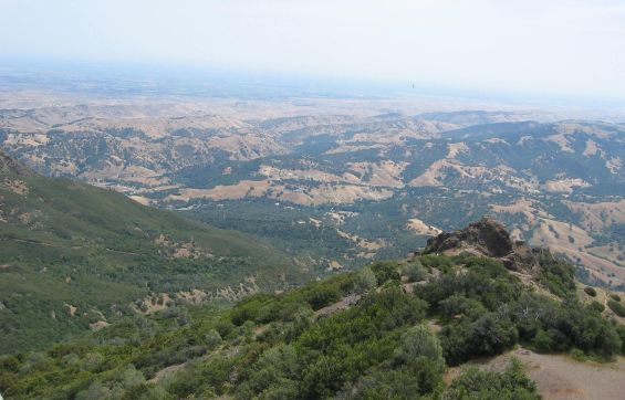
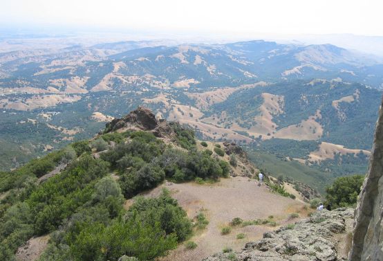
The View From the Top
Many visitors to Mount Diablo head straight for the summit to enjoy the
famous view. Summer days are sometimes hazy, and the best viewing is often on
the day after a winter storm. Then, you can look to the west, beyond the Golden
Gate Bridge, to the Farallon Islands; south-east to the James Lick Observatory
on Mount Hamilton at 4,213 feet elevation; south to Mount Loma Prieta in the
Santa Cruz Mountains at 3,791 feet elevation, north to Mount Saint Helena in the
Coast Range at 4,344 feet elevation, and still farther north to Mount Lassen in
the Cascades at 10,466 feet. North and east of Mount Diablo the San Joaquin and
Sacramento Rivers meet to form the twisting waterways of the Delta. To the east
beyond Califomia's great central valley, the crest of the Sierra Nevada seems to
float in space.
Next... Lunch at Seth's house