
5 days in Northern Vietnam-2/4- 2/7/2025
Tam Coc, Ninh Binh-2/4/2025
We had now arrived at Tam Coc, one of Ninh Binh’s most famous attractions. The name Tam Coc means “three caves,” referring to the three natural caves along the Ngô Đong River. The boat ride would take us through a peaceful landscape of limestone mountains, rice fields, and quiet waterways which is one of the reasons Ninh Binh is known as “Ha Long Bay on land.”
Our guide explained that becoming a Tam Coc boat rower is highly sought after. Thousands of local people are registered and share the opportunity to operate the boats, but only a limited number are allowed on the river each day. The rowers take turns according to a rotation system, and some families may have to wait as long as three days before their turn comes. This system helps provide income to more local families while preventing the river from becoming overcrowded with boats.
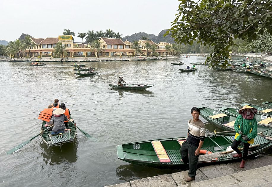
As we prepared to board our small sampan, we realized that the ride was not only a scenic excursion but also part of an organized community system that supports local livelihoods.
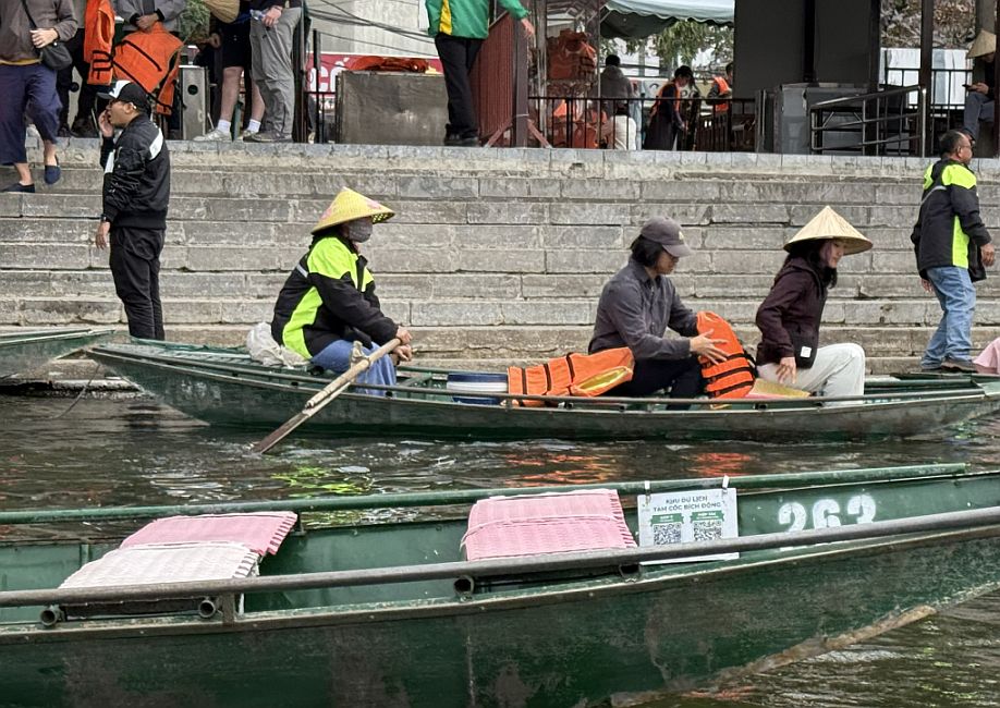
Kevin and Kristie got on their Sampan, a small traditiona narrow boat.
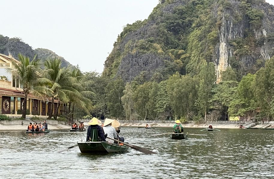
Our boat is now living the riverbank.
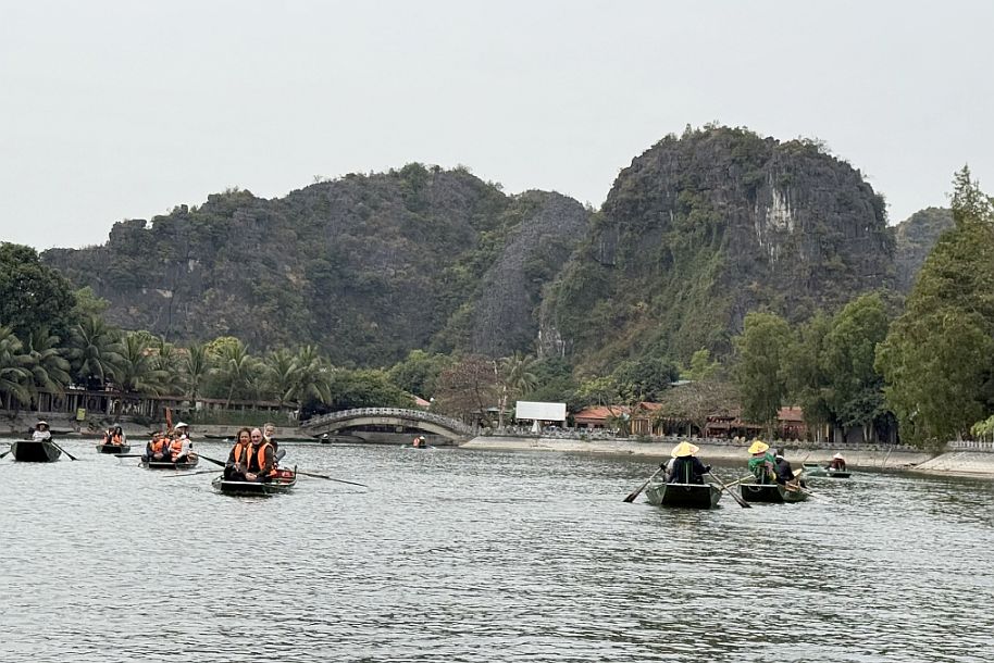
As we continued along the river, the landscape became a fascinating blend of nature and everyday life. Towering karst mountains surrounded the waterway, rising dramatically from the flat valley floor. Along the riverbanks, we could see small businesses, homes, and other buildings serving the local community and visitors.

The boat is quite narrow.
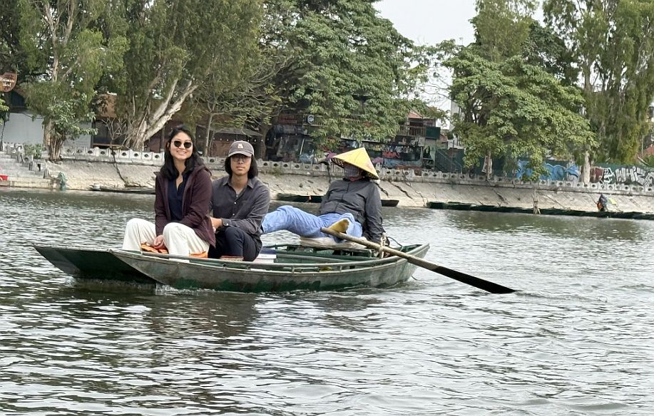
Kevin and Kristie passing by our boat.
 |
 |
 |
All of the rowers used an impressive technique to move the boat along the Ngô Đong River. At times, theye rowed with his hands, and when he became tired, they placed their feet on the oars and continued paddling with his legs. This unusual method is a well-known tradition among Tam Coc boat rowers, allowing them to alternate muscle groups during the long journey.

We passed beneath a bridge connecting the nearby town and surrounding communities.

From the water, we could see how the bridge linked everyday village life with the peaceful river landscape.

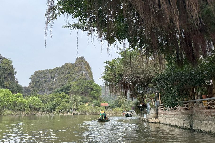
Continuing our journey on the Ngô Đong River.
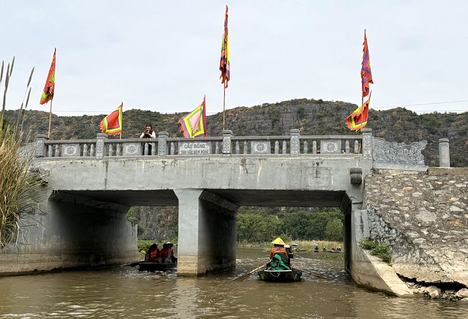
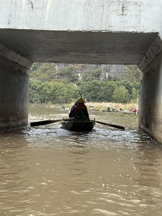
As we passed beneath another bridge marked “Cau Rong” meaning “Dragon Sluice”—it felt as though we were leaving the town behind and entering the countryside.
 |
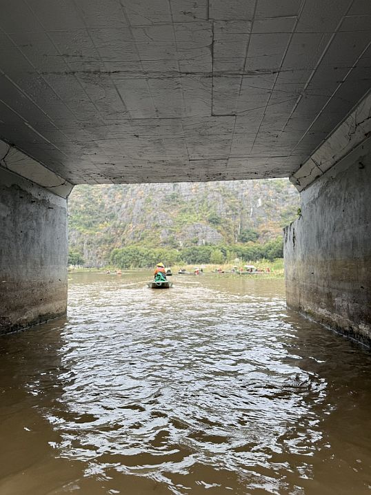 |
The structure stands near the Đình Các pier and marks the transition into the scenic Ngô Đong River route through Tam Coc.

It is not an official town boundary, but after passing beneath it, the buildings gradually disappear and the landscape opens into rice fields, limestone karsts, and quiet waterway.
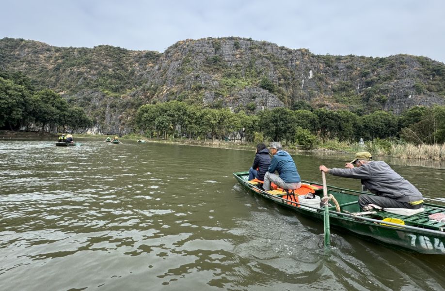
Our boat was a traditional Tam Coc sampan, small, narrow, and low to the water, making it perfect for traveling along the shallow Ngô Đong River. It had just enough room for a few passengers, with the rower seated at the back. From this close to the water, we could appreciate the reflections of the limestone mountains, the surrounding rice fields, and the quiet life along the river. Its simple design also allowed the rower to guide us easily beneath the bridges and through the narrow passages between the karst formations.

As we continued along the Ngô Đồng River, the limestone mountains began to rise dramatically on both sides, enclosing the waterway like a natural corridor
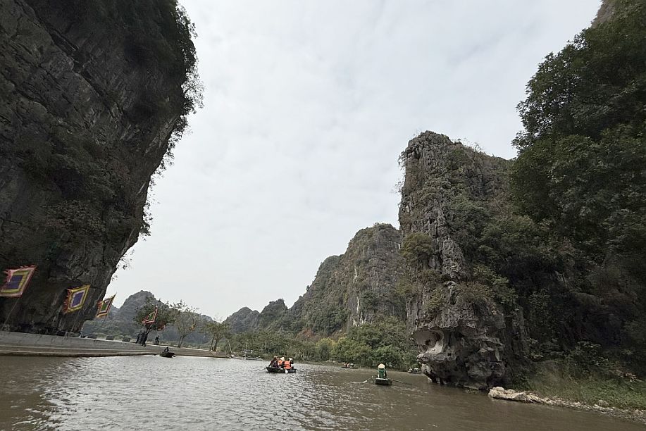
As the boat followed the river around a gentle bend, the scenery changed once again.
 |
 |
As our boat drifted closer to the right bank, we could see the rugged limestone surface in greater detail.
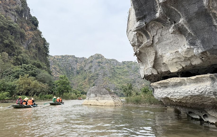
The exposed rock revealed layers shaped by millions of years of erosion, with cracks, grooves, and uneven ledges carved by rain and water. The weathered cliffs made the mountains feel ancient and alive, while the quiet river carried us deeper into the spectacular karst landscape.

On the right, neat rice fields stretched along the water’s edge, while the left bank was covered with tall, wild vegetation. Straight ahead, towering limestone karst mountains rose dramatically from the landscape, creating a beautiful contrast between the carefully cultivated fields and the untamed countryside.

Every turn revealed a new and peaceful view of Tam Coc’s remarkable scenery.
 |
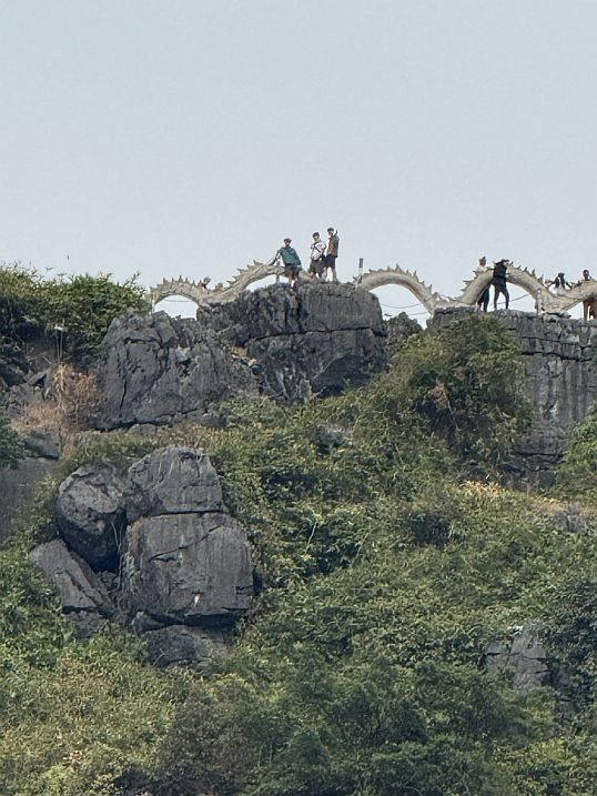 |
As I looked up toward the mountain, I noticed what appeared to be a long dragon sculpture stretching along the ridge, together with a lookout point and perhaps a small temple near the summit.
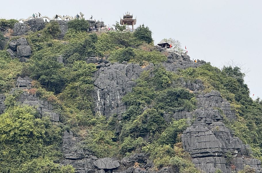
We were told us that we would visit this area later, which made the sight even more intriguing. From the river, the mountain looked mysterious and dramatic, rising above the fields and vegetation like a natural landmark waiting to be explored.

We had now reached the first of Tam Coc’s three water caves, known as Hang Ca, or the First Cave. It is also the largest and longest of the three, extending about 127 meters through the limestone mountain
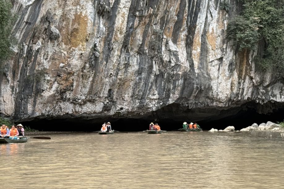
We can see the entrance of the cave from our boat.

As our small boat approached the dark opening, the towering karst cliffs seemed to close around us.
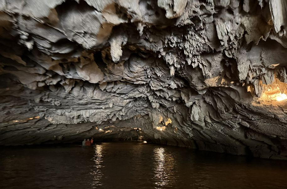
The river carried us gently into the cave, where the sunlight gradually faded and the air became cooler.

Above us, the ceiling was formed by weathered limestone, with stalactites and uneven rock formations hanging overhead.

It felt as though we were entering a completely different world, hidden inside the mountains.

After moving through the darkness of Hang Ca, we gradually saw the cave’s exit ahead. Bright daylight streamed through the opening, surrounded by lush green vegetation and towering limestone cliffs. As the boat emerged, the landscape suddenly opened up again, creating a beautiful contrast between the cool, shadowy cave and the sunlit river outside.

After leaving the cave, the scenery opened into long stretches of rice fields on both sides of the river.

Because it was early February, the rice plants were still young and short, but their fresh green color stood out beautifully against the calm water and gray limestone mountains.
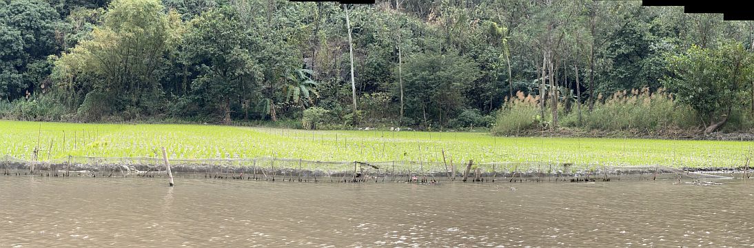
The fields created a peaceful patchwork along the riverbank, showing the beginning of another growing season in the countryside.

Hoa trying to help to row and also having a little fun.
It must be demanding work, especially because the route takes more than an hour and requires steady effort the entire way. Our rower kept the boat moving smoothly and calmly, even as he guided us through the winding river and toward the caves. Watching him work made us appreciate how much strength, balance, and endurance are required to operate these boats every day.
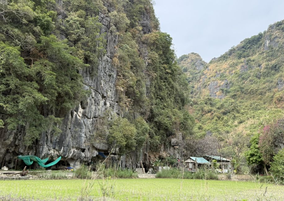
As we continued along the river, we passed beneath the towering karst mountains and noticed a few small houses scattered along the landscape. Their simple presence made the area feel lived-in despite its remote appearance. Surrounded by limestone cliffs, vegetation, and rice fields, these homes reflected the quiet rural life of Ninh Binh, where communities continue to live closely alongside the river and mountains.

This part of the river was especially beautiful and peaceful. Towering limestone karsts rose dramatically around us, while lower rice fields stretched along the riverbanks below.

The young green rice, quiet water, and imposing mountains created a scene that felt both tranquil and timeless, a perfect example of why Ninh Binh is known as “Ha Long Bay on land.”
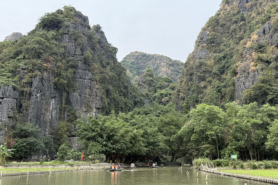
We then arrived at a small landing area along the river, where a set of steps led up from the water.
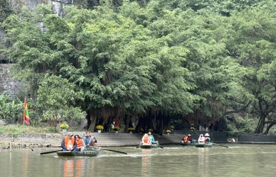
It appeared to be a rest area and possibly another boarding point for visitors beginning their boat journey. After spending so much time on the river, the landing offered a chance for passengers and rowers to pause before continuing. Around us, the peaceful karst scenery and rice fields remained unchanged.

Shortly afterward, we entered another small cave located very close to the landing area.
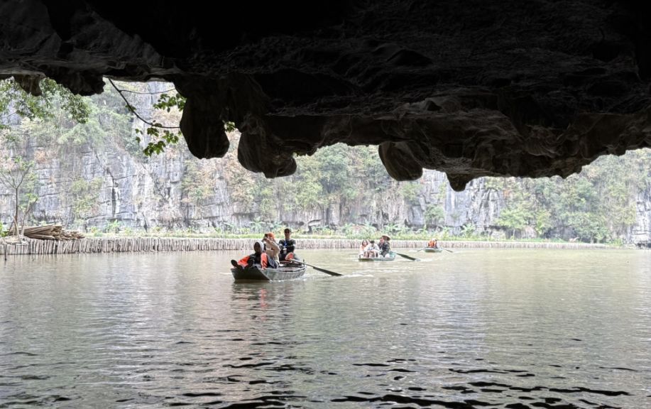
The passage was brief, and as our boat emerged on the other side, we could once again see the stone steps leading up to the rest area.

The contrast between the dim cave entrance and the bright greenery around the landing made the scene especially memorable.

We are now at Tràng An Scenic Landscape Complex.
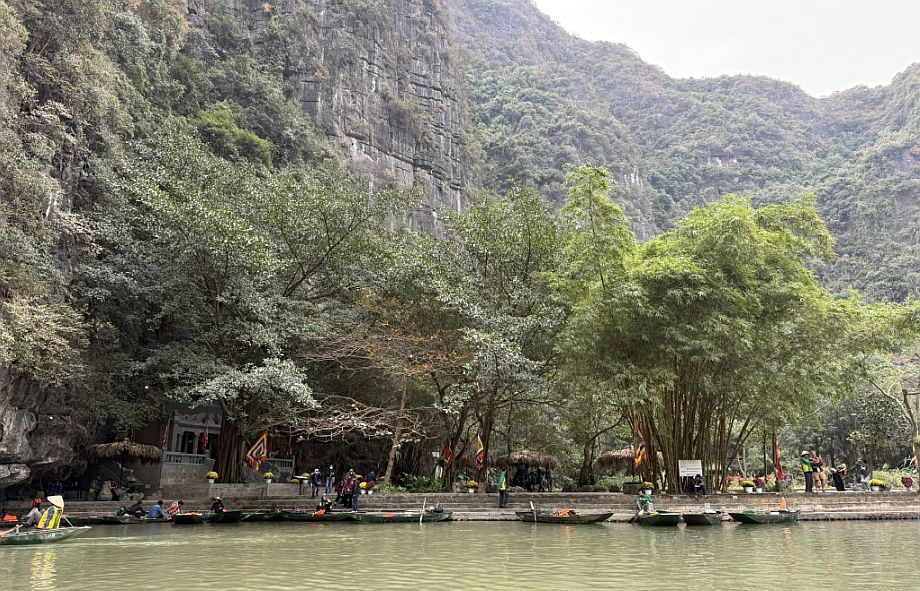
Tràng An is another popular location in Ninh Binh where visitors can begin a scenic boat ride. Like Tam Coc, it offers small traditional boats traveling through calm waterways, limestone caves, and towering karst mountains. However, Tràng An has its own separate routes, with stops at temples, shrines, and different caves along the journey.

Then we passed by a really tranquil route
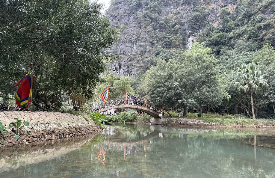
Tràng An boat route, approaching a small arched footbridge decorated with colorful ceremonial flags. The calm water, dense vegetation, and towering limestone cliffs are very characteristic of Tràng An.

From this area, our boat is making a u turn and we are now going back to Tam Coc.

Leaving Trang An behind.

Our boat roamer.

e shared scoops of vanilla and pistachio gelato
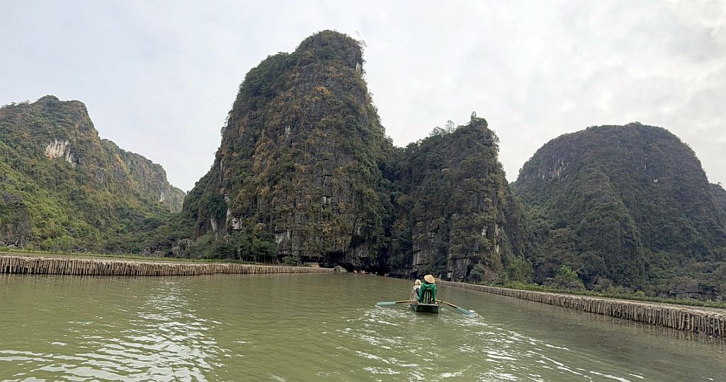
Going back to Tam Coc.

Passing by another cave.
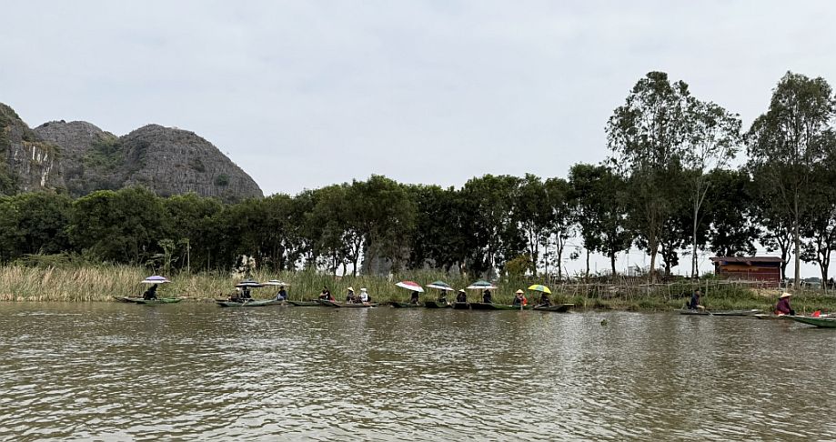
On the way back, we passed through another cave and soon noticed a group of photographers sitting in a boat near the riverbank.

We jokingly called them the “paparazzi.” They positioned themselves along the route to capture visitors as they emerged from the cave or passed through the most scenic sections of the river.

With the limestone cliffs, calm water, and colorful boats behind us, they were ready to take the perfect travel photograph, often offering the pictures to passengers later in the journey.
The most amazing part was watching one of the photographers take pictures while using her feet to row the boat. She held the camera steady in her hands while her feet worked the oars, gently propelling the boat through the water. It was an impressive display of balance, coordination, and skill, another example of the unique foot-rowing technique practiced by local boat operators in Ninh Binh.
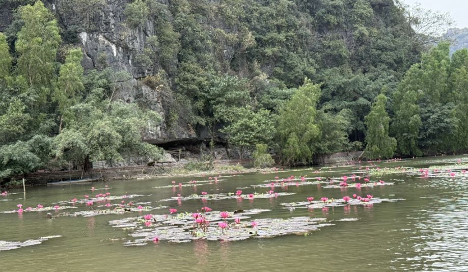
Lotus flowers in bloom.
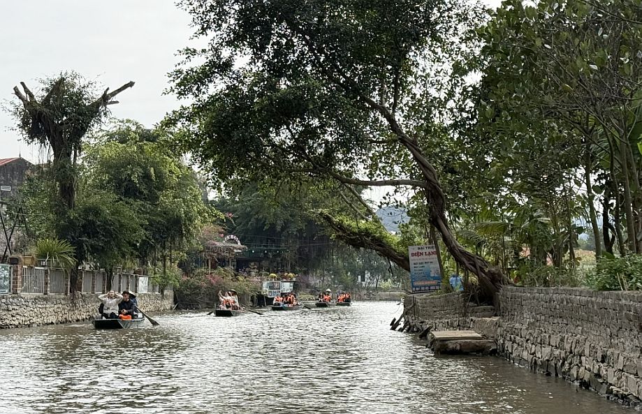
We are now almost back to Tam Coc.

Kevin and Kriste got back before us so they took this picture of us approaching the Tam Coc boat pier.

This the view from our boat looking at the landing.
After nearly two hours on the water, we returned to the Tam Coc boat pier, completing a beautiful journey through the caves, quiet waterways, and towering limestone mountains. Along the way, we passed beneath bridges, glided through dark cave passages, admired temples and riverside landings, and watched the local rowers skillfully guide their boats using both their hands and feet.
Our guide also explained that the rowers work on a rotation system. Because there are so many boat operators and only a limited number of boats allowed on the river each day, a rower may work only one day out of every three and must wait for their turn. This makes tips especially meaningful, since they may have limited opportunities to earn income. After our long and memorable ride, we were glad to leave about $20 as a thank-you for our rower’s hard work.
NEXT... Hand Mui viewpoint(coming soon)