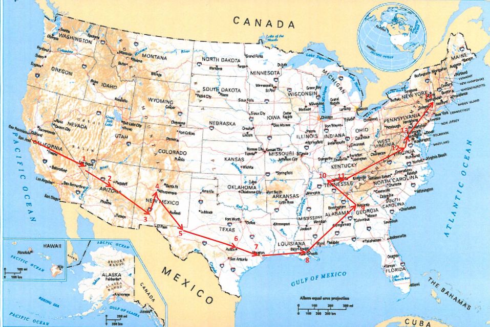
Road trip from Los Altos, CA to Albany, NY - 7/2016
Kevin and Kristie drove from Los Altos, CA to Albany, New York, a trip that will take 10 days and thousands of miles.
Along the way both of them will stop to see many landmarks.
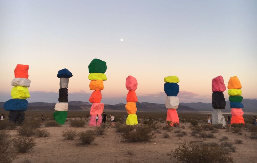
Day 1- Las Vegas- 7 magic mountains
7 Magic Mountains is a large-scale site-specific public art installation located near Jean Dry Lake and Interstate 15, approximately ten miles south of Las Vegas, Nevada.
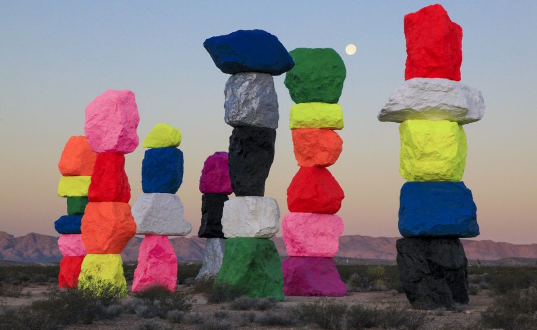
Internationally renowned Swiss artist Ugo Rondinone’s Seven Magic Mountains Comprised of seven towers of colorful, stacked boulders standing more than thirty feet high and punctuates the dessert with a poetic burst of form and color. The exhibition opened May 11, 2016 and will be on view for two years.
Day 2-Sedona, Arizona
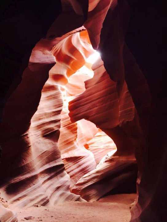
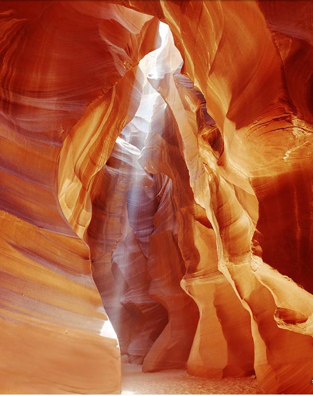
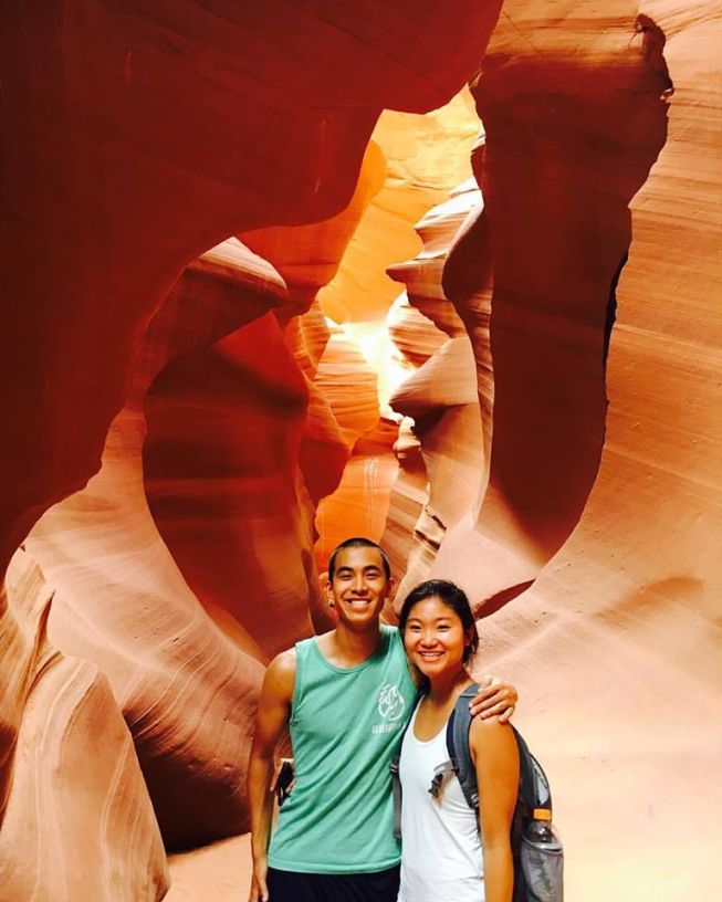
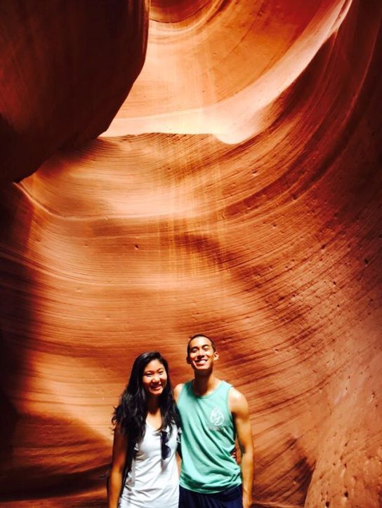
Antelope Canyon
|
|
|
Antelope Canyon is located on Navajo land east of Page, Arizona and was formed by erosion of Navajo Sandstone, primarily due to flash flooding and secondarily due to other sub-aerial processes. Rainwater, especially during monsoon season, runs into the extensive basin above the slot canyon sections, picking up speed and sand as it rushes into the narrow passageways. Over time the passageways eroded away, making the corridors deeper and smoothing hard edges in such a way as to form characteristic 'flowing' shapes in the rock.
|
|
|
Horseshoes bend, Arizona
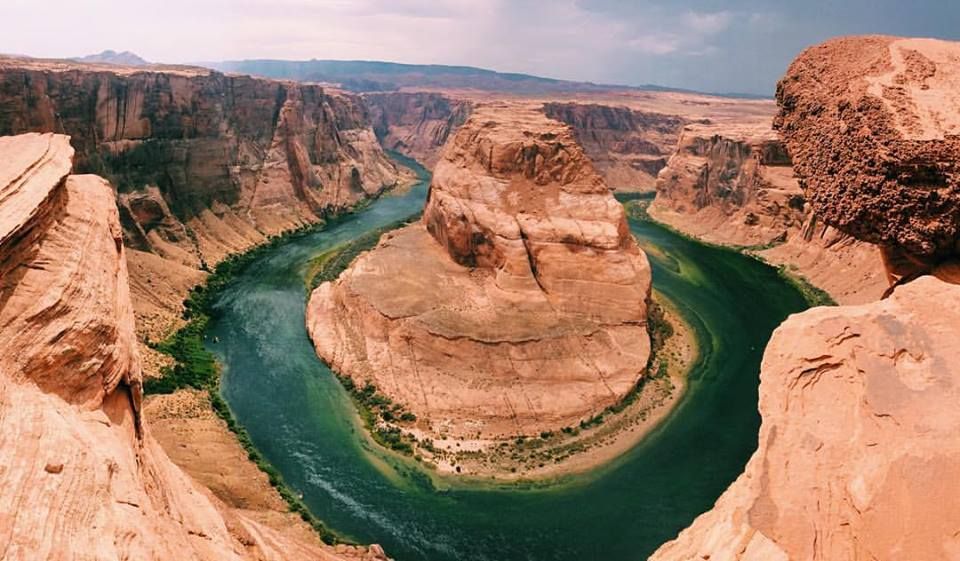
Horseshoe Bend is a horseshoe-shaped meander of the Colorado River located near the town of Page, Arizona.
Horseshoe Bend is accessible via hiking a 1.5-mile (2.4 km) round trip from U.S. Route 89, but an access road also reaches the geological structure, as it is part of a state park. Horseshoe Bend can be viewed from the steep cliff above.
The overlook is 4,200 feet above sea level, and the Colorado River is at 3,200 feet above sea level, making it a 1,000-footdrop.
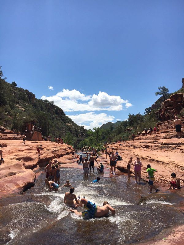
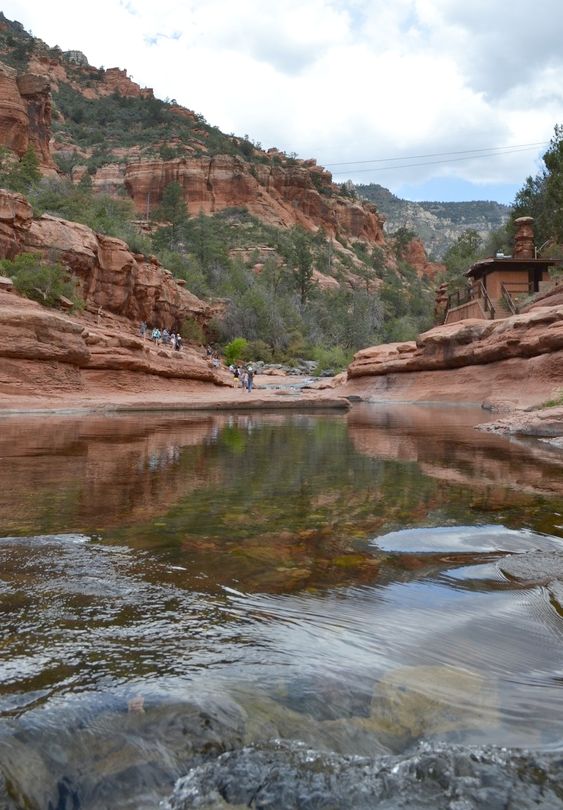
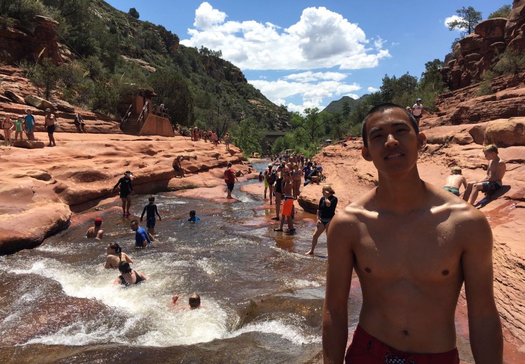
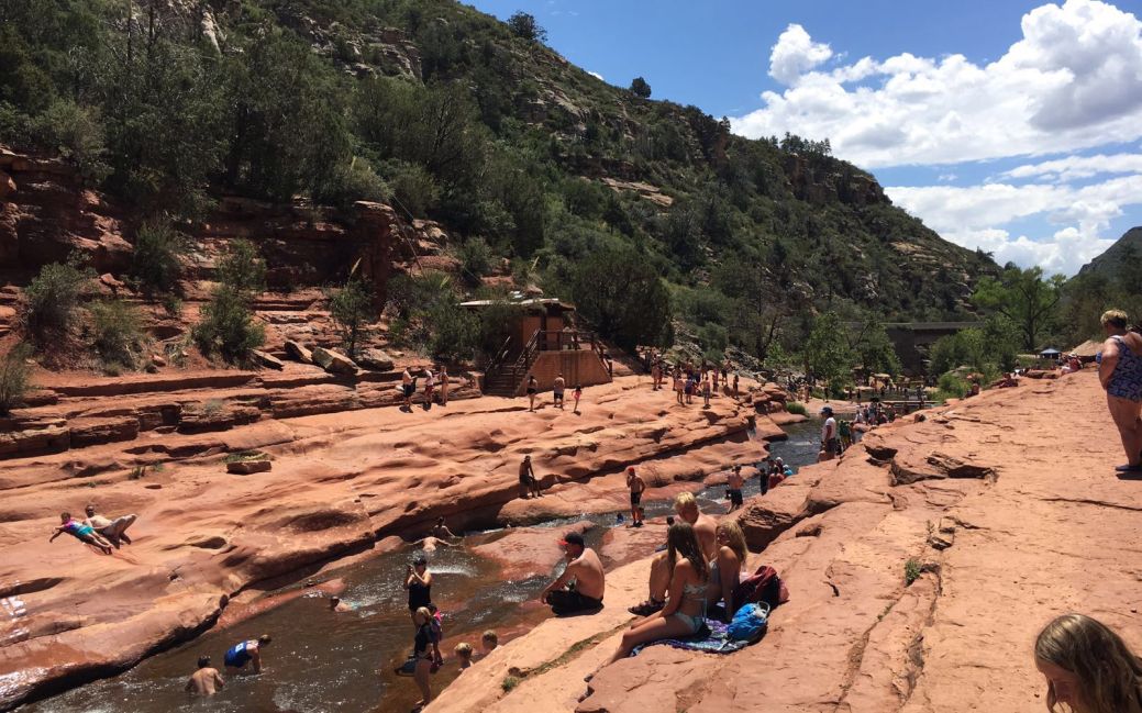
Slide Rock State Park, Sedona
Slide Rock State Park is located about 7 miles north of Sedona, Arizona along Highway 89A is an extremely popular section of Oak Creek where, for several hundred yards, the water descends gradually in a series of steps while flowing over smooth sandstone strata via a series of natural chutes and pools, perfect for sliding down and swimming.
 0
0
|
|
|
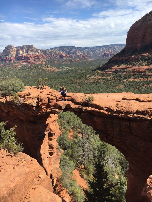
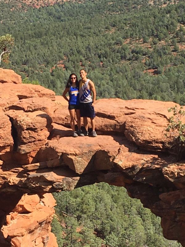
Devil's Bridge
|
|
|
Devils Bridge, situated at the edge of a wide valley on the north side of Capital Butte. Despite its name, the formation is still an arch rather than a bridge is probably the most viewed. Created by wind and weather erosion and not by flowing water and can be reached by a minimum hike of 0.8 miles, starting from a small trailhead along Dry Creek Road.
Grand Canyon
The Grand Canyon is a steep-sided canyon carved by the Colorado River in the state of Arizona. It is contained within and managed by Grand Canyon National Park, the Kaibab National Forest, Grand Canyon-Parashant National Monument, the Hualapai Tribal Nation, the Havasupai people and the Navajo Nation. President Theodore Roosevelt was a major proponent of preservation of the Grand Canyon area, and visited it on numerous occasions to hunt and enjoy the scenery.
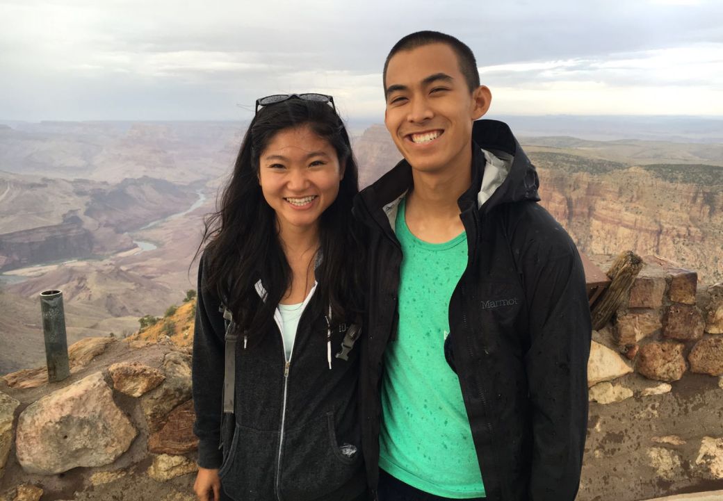
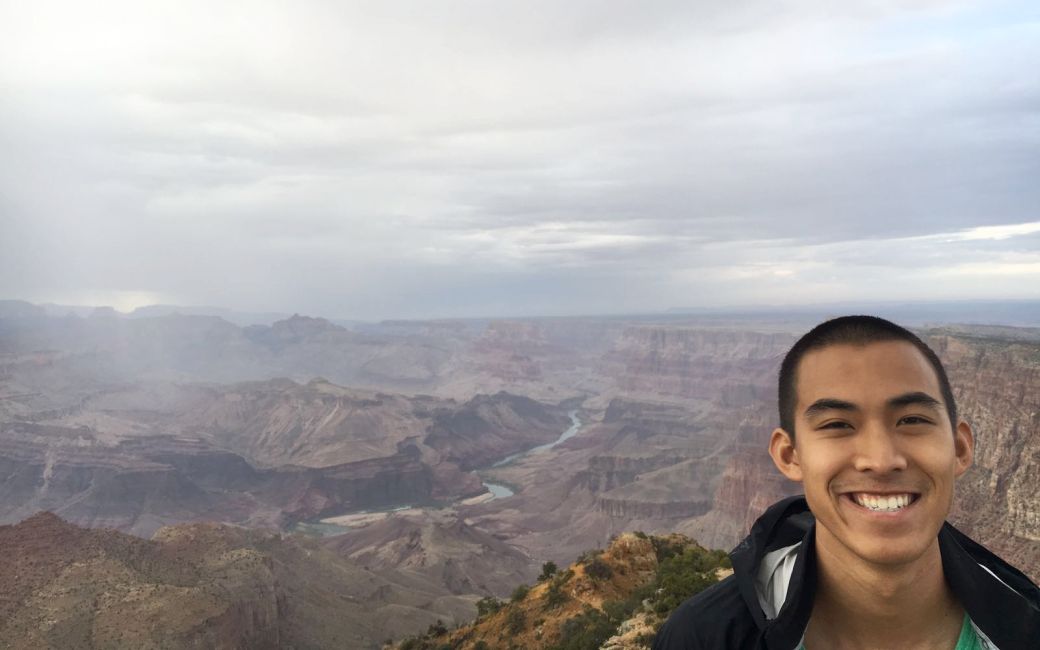
The Grand Canyon is 277 miles long, up to 18 miles wide and attains a depth of over a mile (6,093 feet or 1,857 meters). Nearly two billion years of Earth's geological history have been exposed as the Colorado River and its tributaries cut their channels through layer after layer of rock while the Colorado Plateau was uplifted. While some aspects about the history of incision of the canyon are debated by geologists, several recent studies support the hypothesis that the Colorado River established its course through the area about 5 to 6 million years ago. Since that time, the Colorado River has driven the down-cutting of the tributaries and retreat of the cliffs, simultaneously deepening and widening the canyon.
For thousands of years, the area has been continuously inhabited by Native Americans, who built settlements within the canyon and its many caves. The Pueblo people considered the Grand Canyon a holy site, and made pilgrimages to it. The first European known to have viewed the Grand Canyon was García López de Cárdenas from Spain, who arrived in 1540.
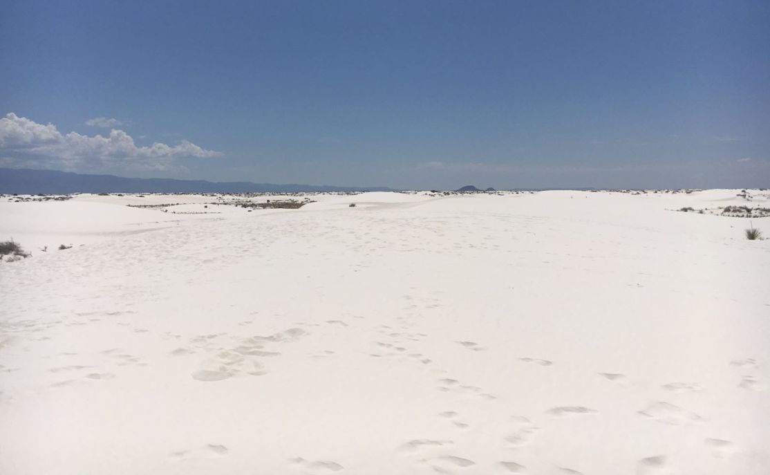
Day 3- White Sands, New Mexico
White Sands is located in the eastern Doña Ana County, New Mexico, at the southern end of the White Sands Missile Range.
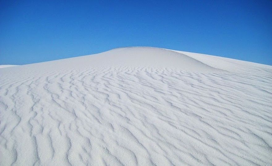
White Sands is an immense area of snow-white sand, but unlike other desert, the sand here is not composed of quartz, but gypsum crystals.
About 100 million years ago, rainwater and melt water came from the mountains dissolving gypsum from the sedimentary rocks and the concentrated solutions were washed down the mountainsides, and accumulated in Lake Lucero in the Tularosa Basin. As the water evaporated away it left behind a layers of crystallized gypsum. Weathering then reduced these crystals to fine, sandy grains, which were carried farther up the basin by the winds, and deposited in what is now the White Sands. Lake Lucero is today a dry bed but its lowest portion occasionally fills with shallow water after recent rains.

The White Sands cover an area of over 700 square kilometers with dunes that often reach as high as 15 meters. It is the largest gypsum dune field in the world. The dunes are constantly changing as they are moved by the steady southwest winds.
Unlike other desert sands, gypsum crystals do not absorb heat from the sun rays due to which they are cool to the touch. One can easily walk upon the sand with bare feet, even in the hottest summer months, which makes it suitable for sand boarding.
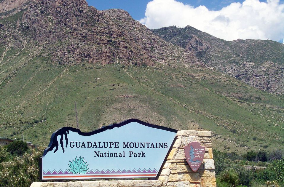
Day 4- Guadalupe National park, Texas
Guadalupe Mountains National Park is far
removed from most other natural attractions of the Southwest. The closest cities
are El Paso (110 miles) or Carlsbad (55 miles), and there are few facilities in
this mostly barren region. The park contains the southern end of the Guadalupe
Mountains, an isolated range surrounded in all directions by the Chihuahuan
Desert, and few people visit, due perhaps also to the lack of a central
attraction, a scenic drive or named viewpoints. This is primarily a park for
hiking; the mountains are crossed by a good network of
trails and the region has varied climate zones with differing wildlife and
vegetation, interesting geology, and many photographic opportunities.
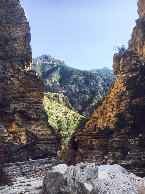
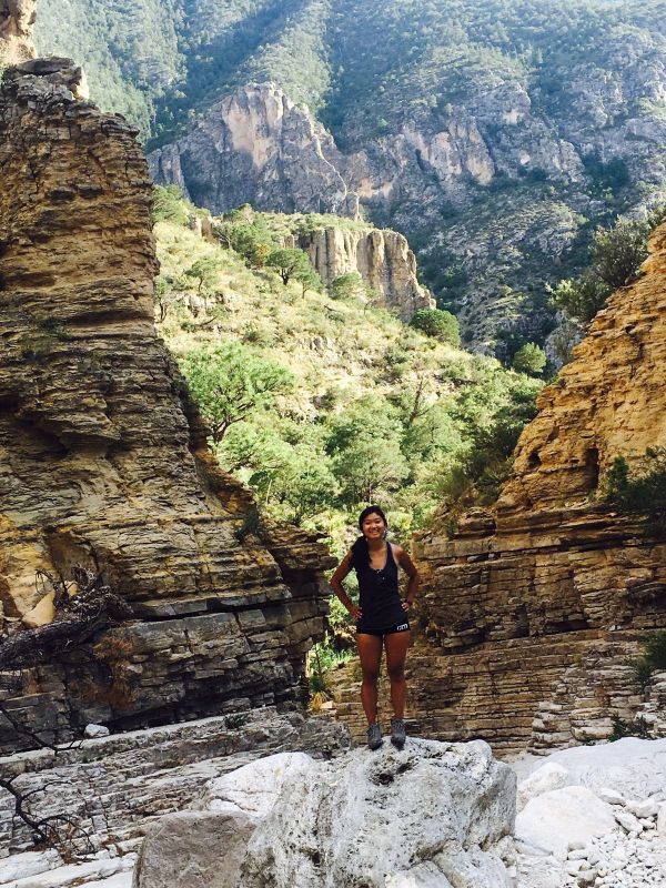
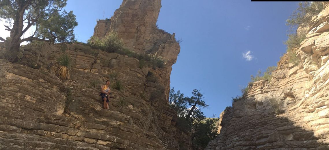
Starting from the campground at the mouth of Pine Spring Canyon near the Guadalupe Mountains National Park headquarters, the Devil's Hall Trail follows the dry wash running through the canyon to a narrow, enclosed, photogenic section where the ravine cuts through thin-layered limestone and is bordered by sheer cliffs 100 feet high.
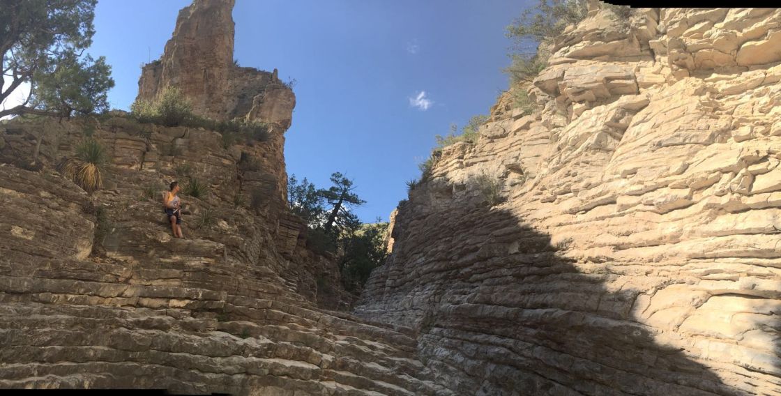
Hiker's Staircase Natural Rock Formation
|
|
|
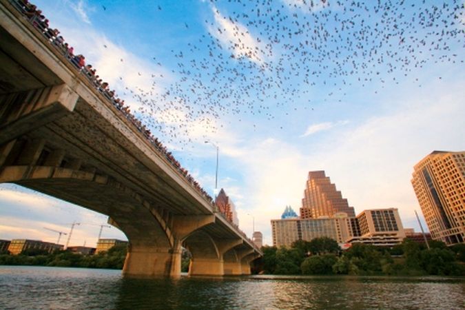
Day 5 - Austin, Texas -Bat migration
Every summer night, hundreds of people gather to see the world's largest urban bat colony emerge from under the Congress Avenue Bridge in downtown Austin, Texas. These 1.5 million bats are fun to watch, but they're also making our world a better place to live.
When engineers reconstructed the Congress Avenue Bridge in 1980 they had no idea that new crevices beneath the bridge would make an ideal bat roost. Although bats had lived there for years, it was headline news when they suddenly began moving in by the thousands. Reacting in fear and ignorance, many people petitioned to have the bat colony eradicated.
About that time, Merlin Tuttle brought BCI to Austin and told the city the surprising truth: that bats are gentle and incredibly sophisticated animals; that bat-watchers have nothing to fear if they don't try to handle bats; and that on the nightly flights out from under the bridge, the Austin bats eat from 10,000 to 20,000 pounds of insects, including agricultural pests.
As the city came to appreciate its bats, the population under the Congress Avenue Bridge grew to be the largest urban bat colony in North America. With up to 1.5 million bats spiraling into the summer skies, Austin now has one of the most unusual and fascinating tourist attractions anywhere.
The Austin American-Statesman created the Statesman Bat Observation Center adjacent to the Congress Bridge, giving visitors a dedicated area to view the nightly emergence. It is estimated that more than 100,000 people visit the bridge to witness the bat flight, generating ten million dollars in tourism revenue annually.
Click Here to see a video on YouTube
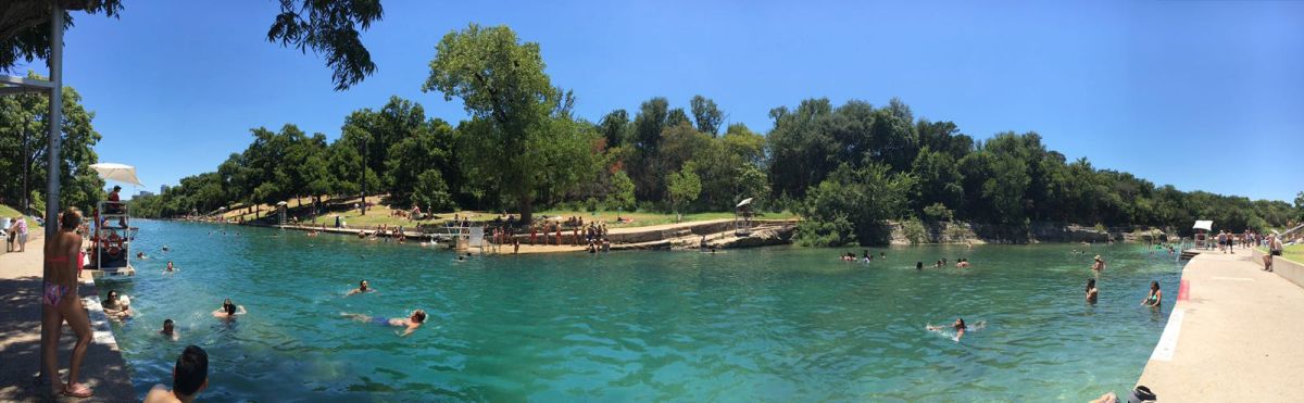
Taking a dip on a hot summer day in Austin
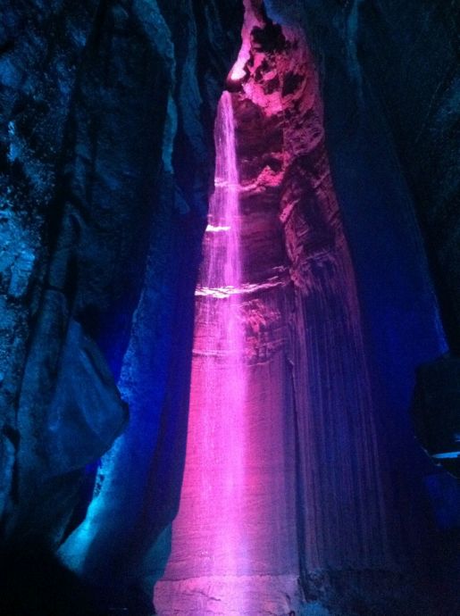
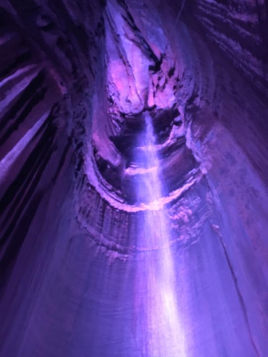
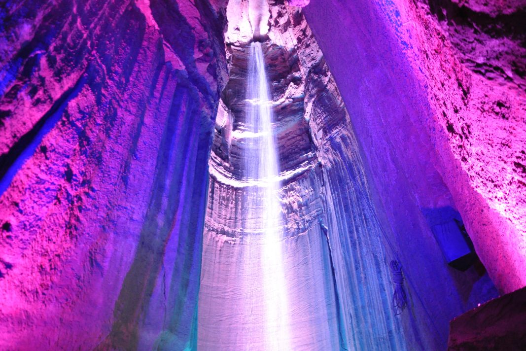
Day 8-Ruby Fall-Chattanooga, Tennessee
Ruby Falls is a 145-foot high underground waterfall located within Lookout Mountain, near Chattanooga, Tennessee.
Ruby Falls Cave features many of the more well-known types of cave formations including stalactites and stalagmites, columns, drapery, and flowstone.
The Falls are located at the
end of the main passage of Ruby Falls Cave, in a large vertical shaft. The
stream, 1120 feet underground, is fed both by rainwater and
natural springs. It collects in a pool in the cave floor and then continues
through the mountain until finally joining the Tennessee River
at the base of Lookout Mountain
|
|
|
Click Here to see a video on YouTube
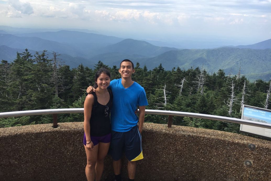
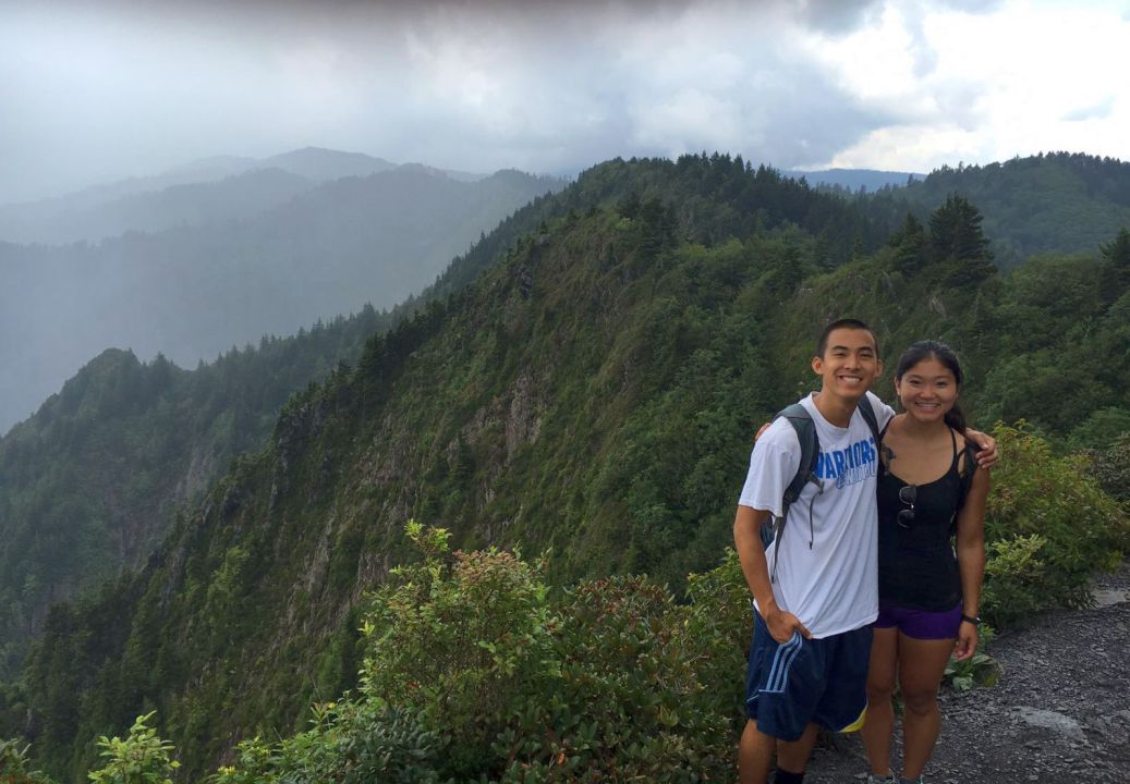
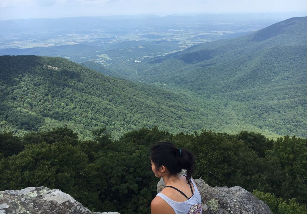
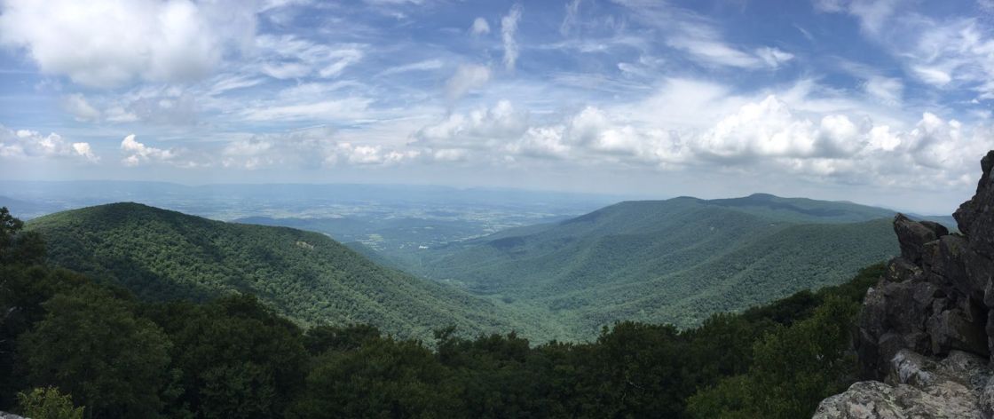
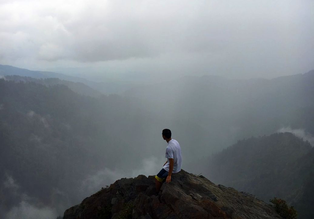
Great Smoky Mountains, Tennessee/North Carolina
Great Smoky Mountains National Park is a National Park and UNESCO World Heritage Site that straddles the ridgeline of the Great Smoky Mountains, part of the Blue Ridge Mountains, which are a division of the larger Appalachian Mountain chain. The border between Tennessee and North Carolina runs northeast to southwest through the centerline of the park. It is the most visited national park in the United States. On its route from Maine to Georgia, the Appalachian Trail also passes through the center of the park. The park was chartered by the United States Congress in 1934 and officially dedicated by President Franklin Delano Roosevelt in 1940. It encompasses 522,419 acres, making it one of the largest protected areas in the eastern United States. It was the first national park whose land and other costs were paid for in part with federal funds; previous parks were funded wholly with state money or private funds.

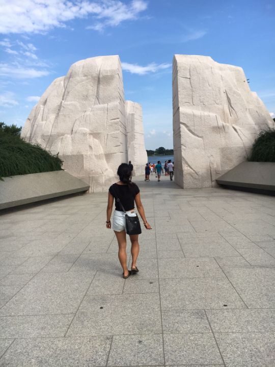
Day 9 - Washington, DC
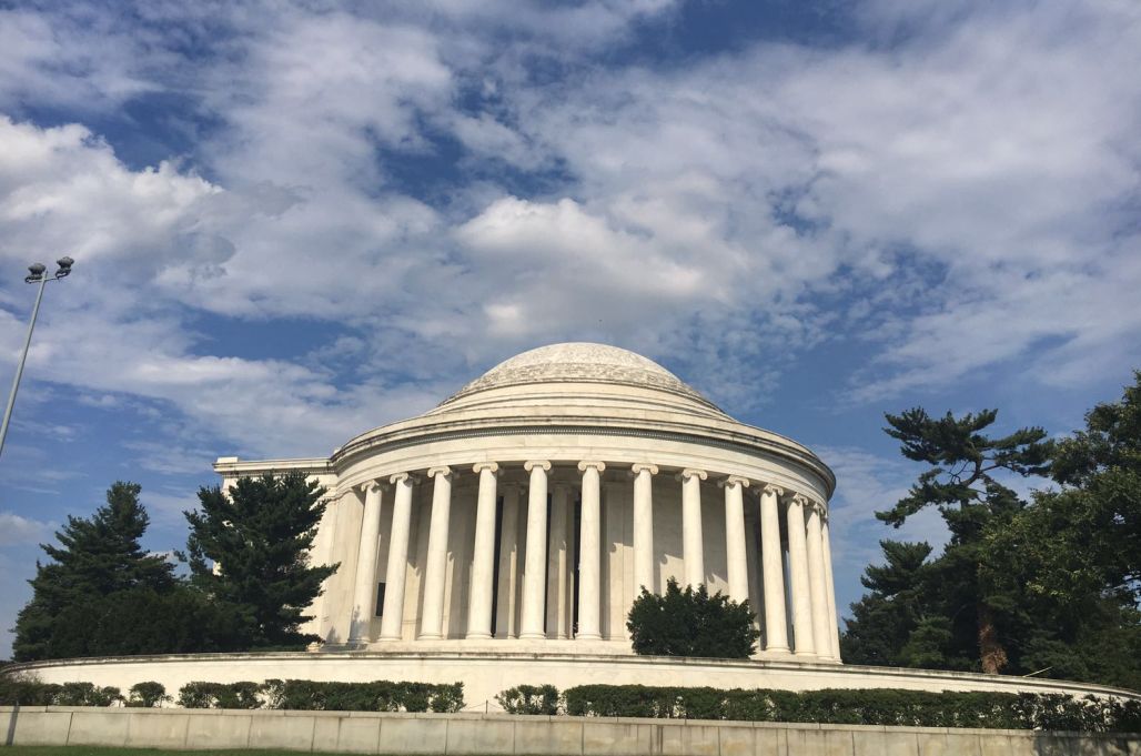
Jefferson Memorial Washington DC
The Jefferson Memorial is located on the south side of the Tidal Basin in West Potomac Park right off the National Mall near the Washington Monument in Washington, DC. The Thomas Jefferson Memorial was dedicated April 13, 1943, on the 200th anniversary of Thomas Jefferson's birth, by President Franklin Delano Roosevelt to honor the Founding Father, writer of the Declaration of Independence and the 3rd President of the United States Thomas Jefferson. The Jefferson Memorial was modeled after the Pantheon in Rome and the Rotunda at the University of Virginia which Jefferson designed.
|
|
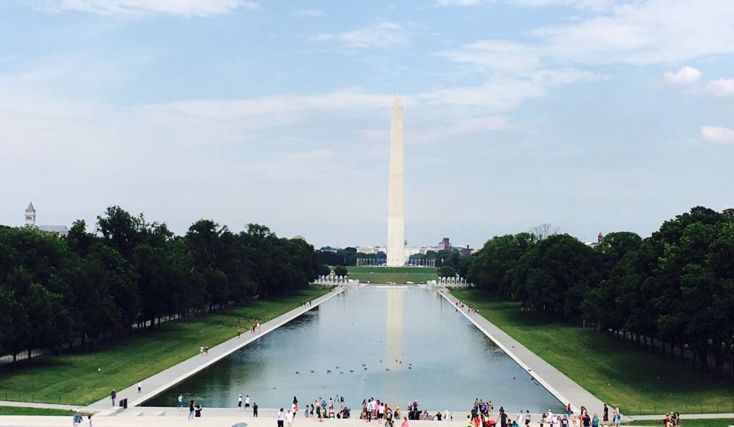
Lincoln Memorial Reflecting Pool is the largest of
the many
reflecting pools in
Washington, D.C.. It is a long and large rectangular pool
located on the National Mall, directly east of the
Lincoln Memorial, with the
Washington Monument to the east of the reflecting pool.
Part of the iconic image of Washington, the reflecting pool hosts many of the 24
million visitors a year who visit the National Mall.
It is lined by walking paths and shade trees on both sides. Depending on the
viewer's vantage point, it dramatically reflects the Washington Monument, the
Lincoln Memorial, the Mall's trees, and/or the expansive sky. The Lincoln
Memorial Reflecting Pool was designed by
Henry
Bacon, and was constructed in 1922 and 1923, following the dedication of the
Lincoln Memorial. It is approximately 2,029 feet long (over a third of a
mile) and 167 feet wide. It has a depth of approximately 18 inches
on the sides and 30 inches in the center. It holds approximately
6,750,000 U.S. gallons of water
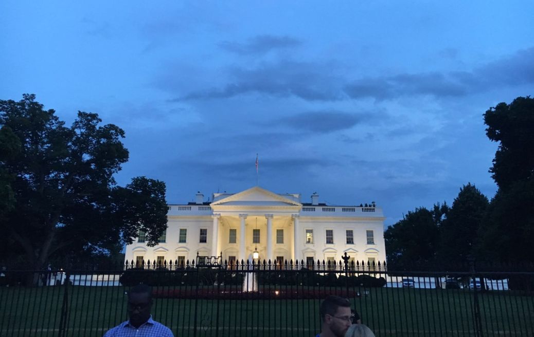
The White house
Day 10- Arrival in Albany, New York

Finally made it to the apartment in Albany New York!
10 days itinerary view on map